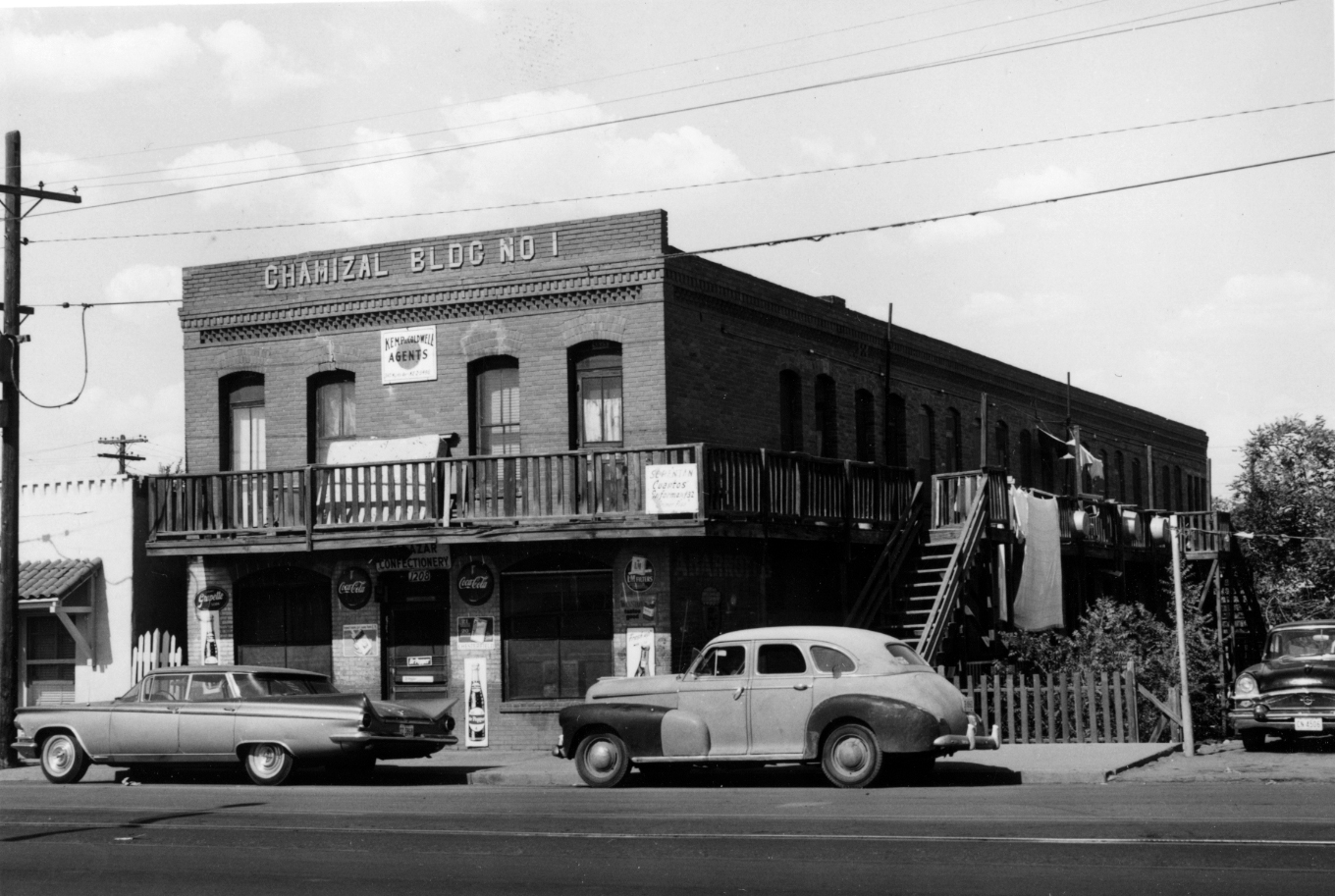
Chamizal Building No. 1.
Photo courtesy of El Paso Department of Planning collection, University of Texas at El Paso.
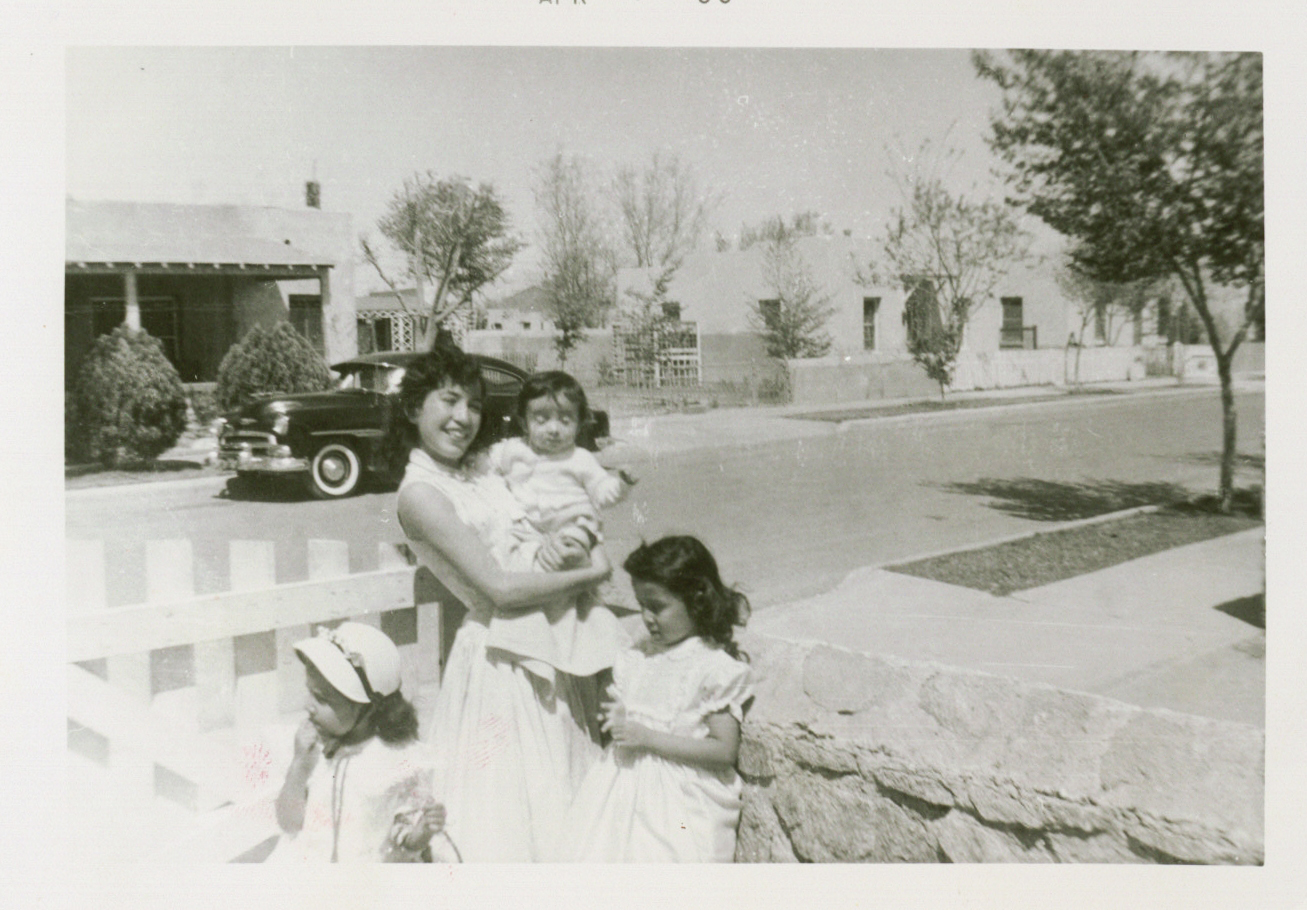
Easter Sunday family photo in the Chamizal. Photo courtesy of Maria Eugenia Trillo.
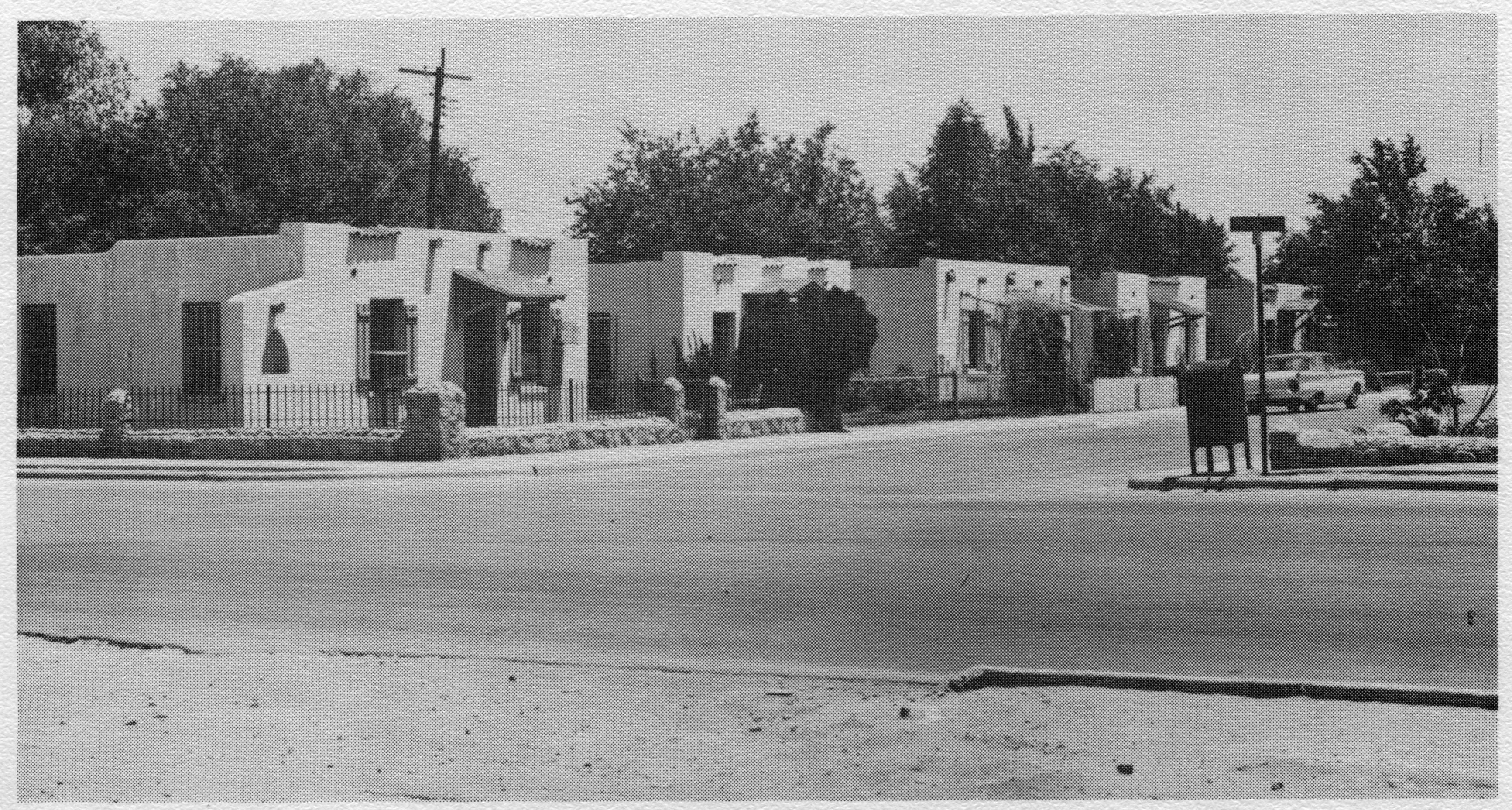
Homes in the Chamizal. Photo Courtesy of the El Paso Times.
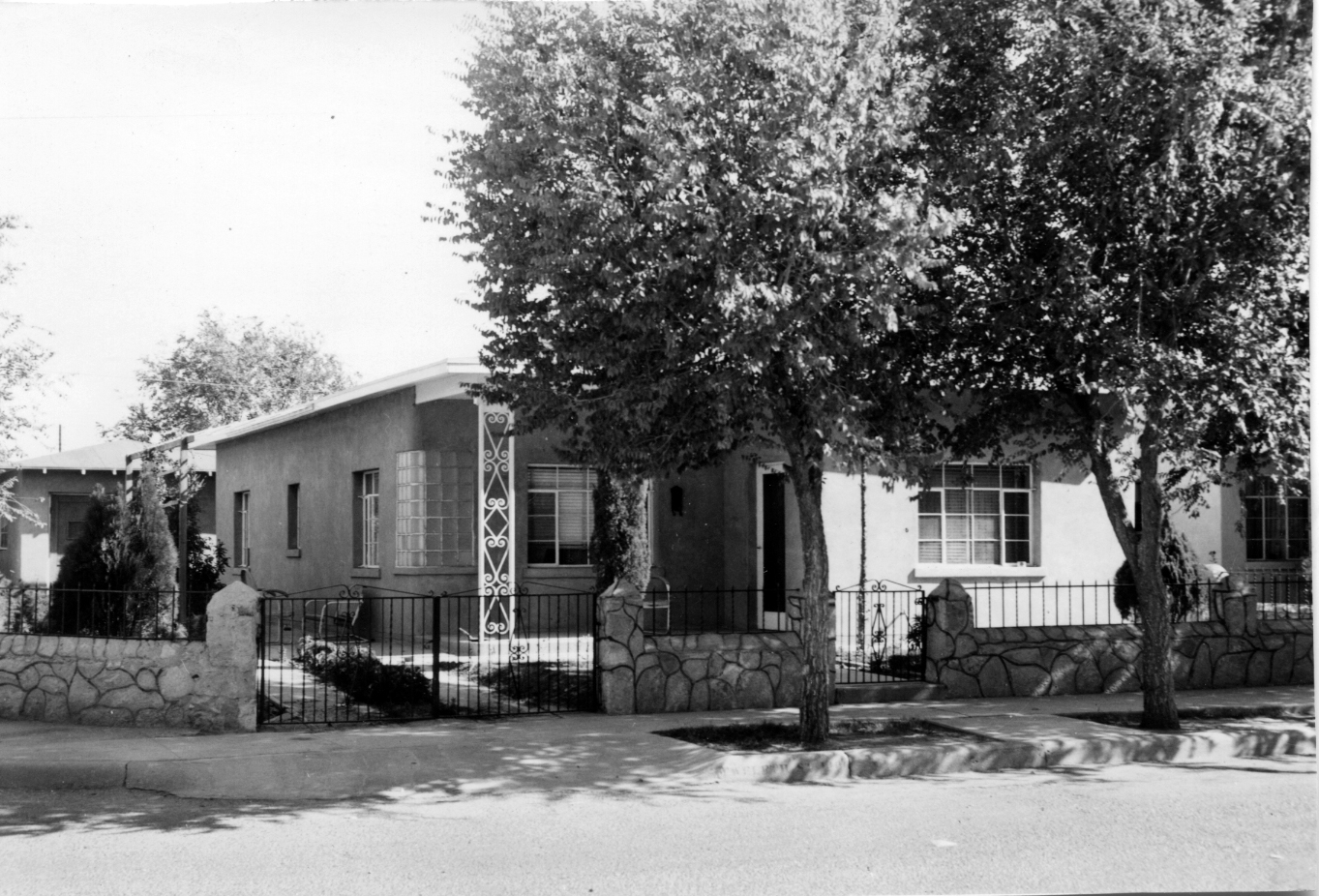
House in Rio Linda Subdivision of the Chamizal. Photo courtesy of El Paso Department of Planning, Special Collections Department, University of Texas at El Paso
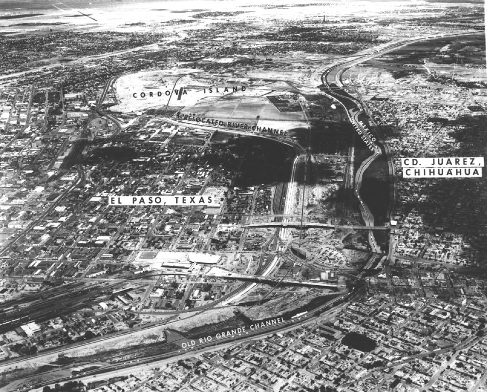
Aerial photograph of the Rio Grande and the Chamizal.
Photo courtesy of the National Park Service.
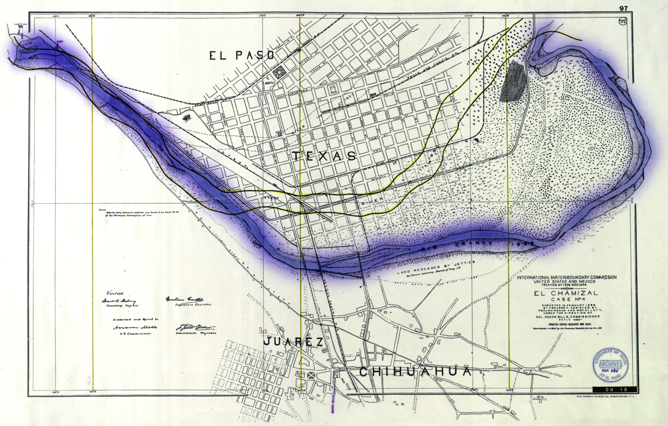
Map of the Chamizal, 1911. Image courtesy of Nestor Valencia.
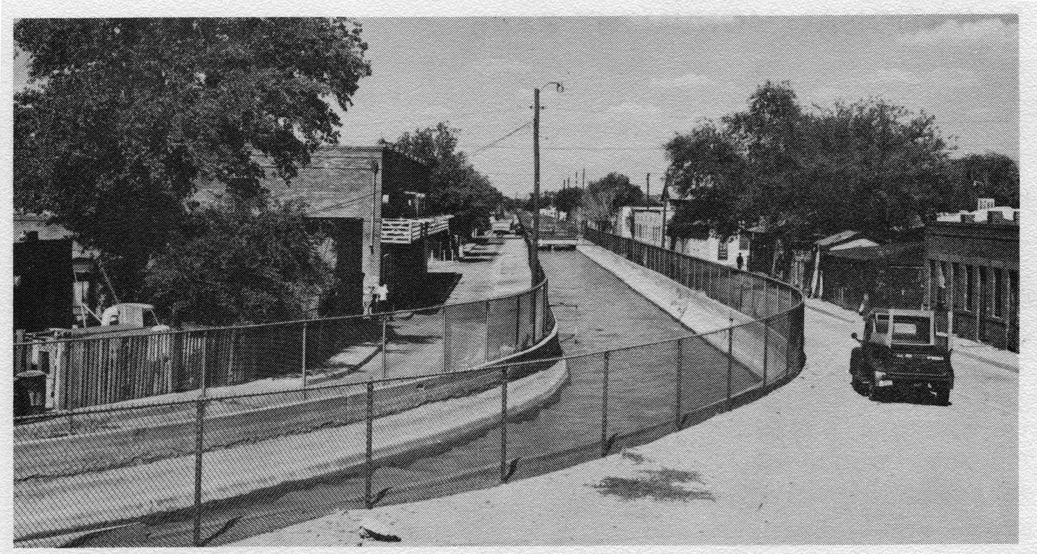
Canal divides Eighth Street. Photo Courtesy of the El Paso Times.
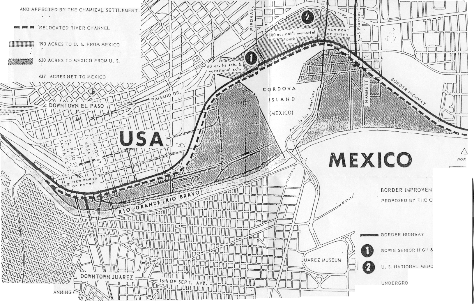
Proposed border changes. Image courtesy of the City of El Paso.
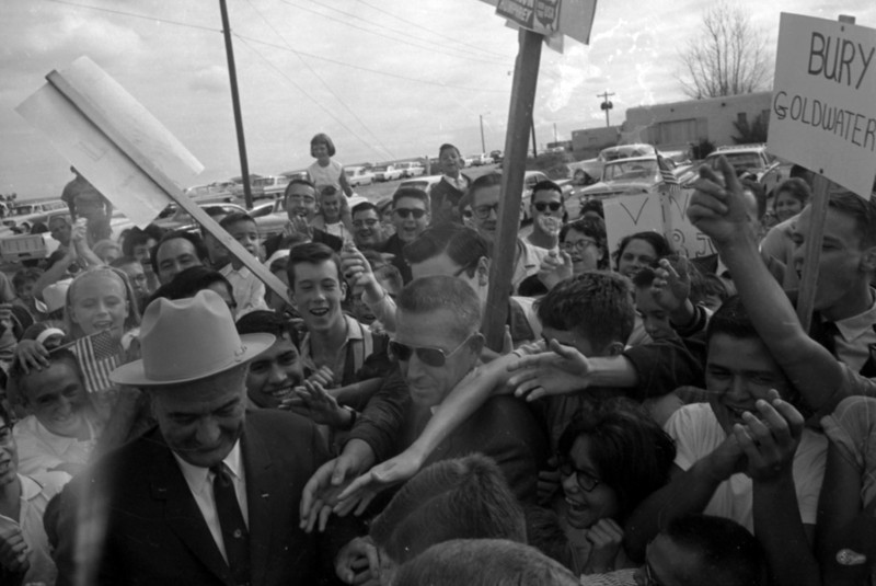
President Johnson arrives at El Paso International Airport on September 25, 1964.
Photo courtesy of The El Paso Times.

Woman holding El Paso Times during the Chamizal Treaty Ceremony on September 25, 1964. Photo courtesy of The El Paso Times.
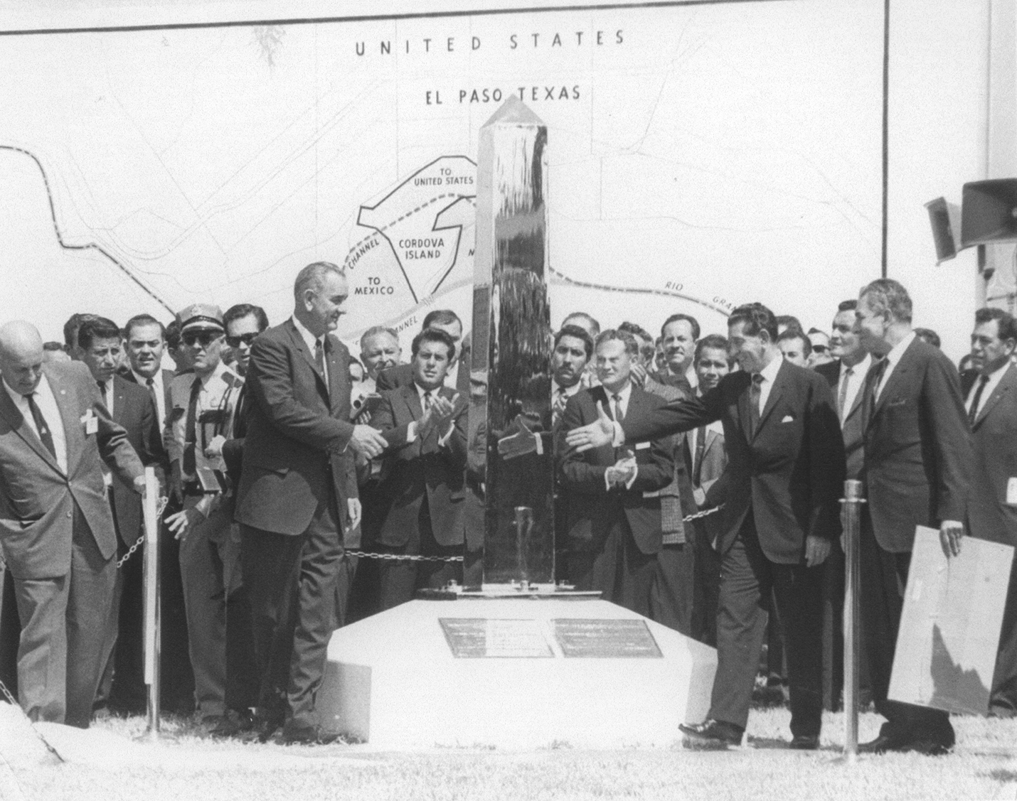
President Lyndon B Johnson President and the Mexican President Adolfo López Mateos signaling the peaceful end of the Chamizal Issue and unveiling the new boundary marker on September 25, 1964. Photo courtesy of The El Paso Times.
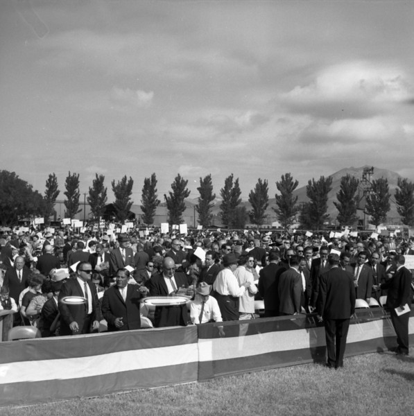
A large crowd attends the Chamizal Treaty Ceremony at Bowie High School on September 25, 1964. Photo courtesy of The El Paso Times.
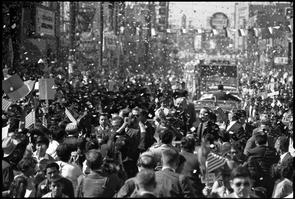
Photo courtesy of the LBJ Presidential Library.
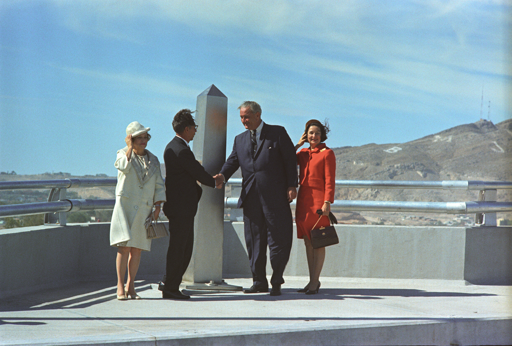
President Johnson shaking hands with Mexican President Gustavo Díaz Ordaz, at the Chamizal Monument in Juarez, Mexico, on October 28, 1967. U.S. First Lady "Lady Bird" Johnson (right) and Mexican First Lady Guadalupe Borja Osorno (left). Photo courtesy of the LBJ Presidential Library.
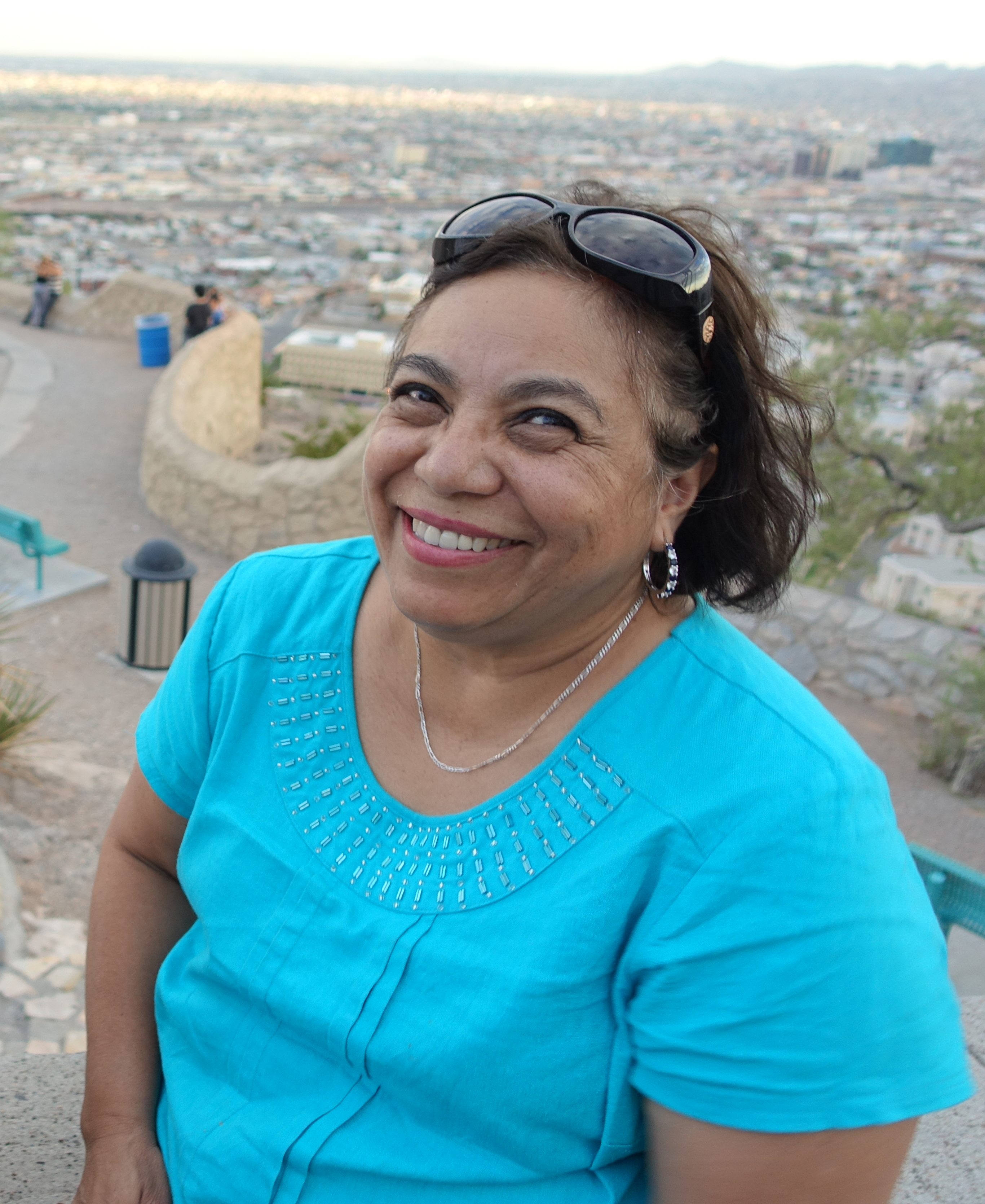
Former resident of the Chamizal, Maria Eugenia Trillo in 2014.
Fifty years ago, the United States shrank by a single square mile. It all happened where the Rio Grande divides El Paso and Ciudad Juárez in Mexico.
Ever since Texas became a state, the river has been the border between the two countries. But rivers can move — and that’s exactly what happened in 1864, when torrential rains caused it to jump its banks and go south. Suddenly the border was in a different place, and Texas had gained 700 acres of land called the Chamizal, named after a plant that grew in the area.
It was a thorn in the side of U.S.-Mexico relations for a century until Sept. 25, 1964, when the U.S. finally gave part of the land back to Mexico. But by that time, roughly 5,000 people had moved to the Chamizal and made it their home. This is their story.
Historian Paul Kramer, who led us to this story, wrote a lovely essay about The Chamizal in the New Yorker. More of Paul’s work can be found at www.paulkrameronline.com. Special thanks to Paul, The University of Texas at El Paso Institute of Oral History, The LBJ Presidential Archive, the Vanderbilt Archive and Maria Eugenia Trillo.


