 The call for a wall along our border with Mexico has a long history. In fact, the first border wall was built 100 years ago… it was a 6 foot tall fence that went straight through the town of Nogales, Arizona.
Walls and fences represent a very human impulse: to have an actual physical barrier that marks the imaginary one on the map.
It’s a simple idea. And – like most things – it turns out to not be so simple.
Today on the podcast: stories about walls and borders, and what happens when – instead of people crossing the border – the border crosses the people.
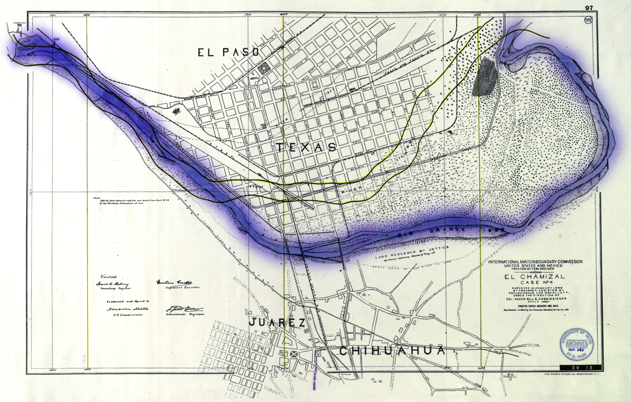
Map of the Chamizal, 1911. Image courtesy of Nestor Valencia.
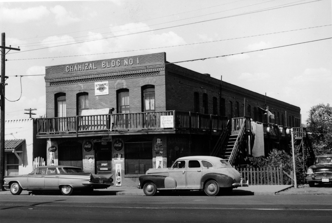
Chamizal Building No. 1.
Photo courtesy of El Paso Department of Planning collection, University of Texas at El Paso.
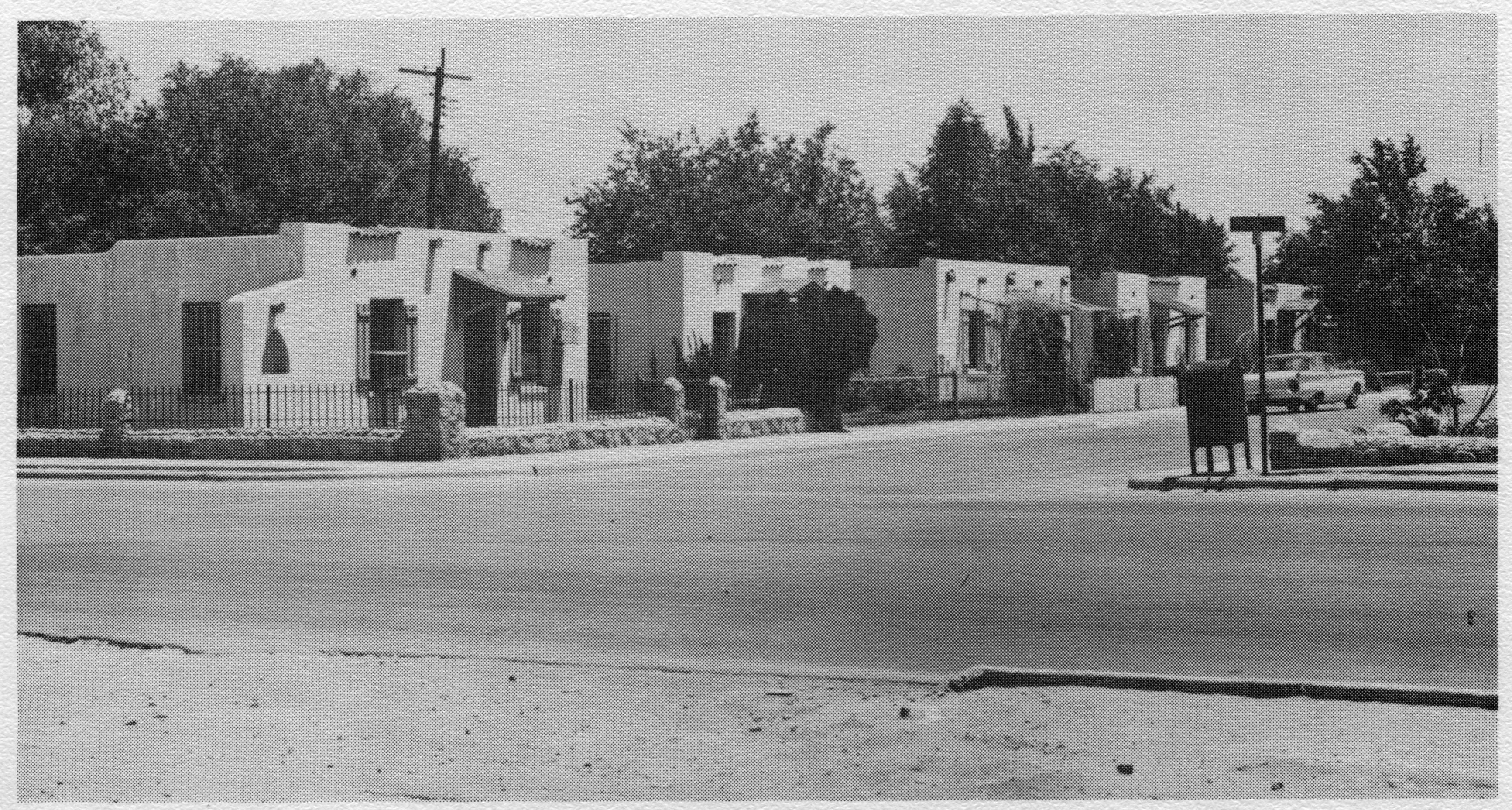
Homes in the Chamizal. Photo Courtesy of the El Paso Times.
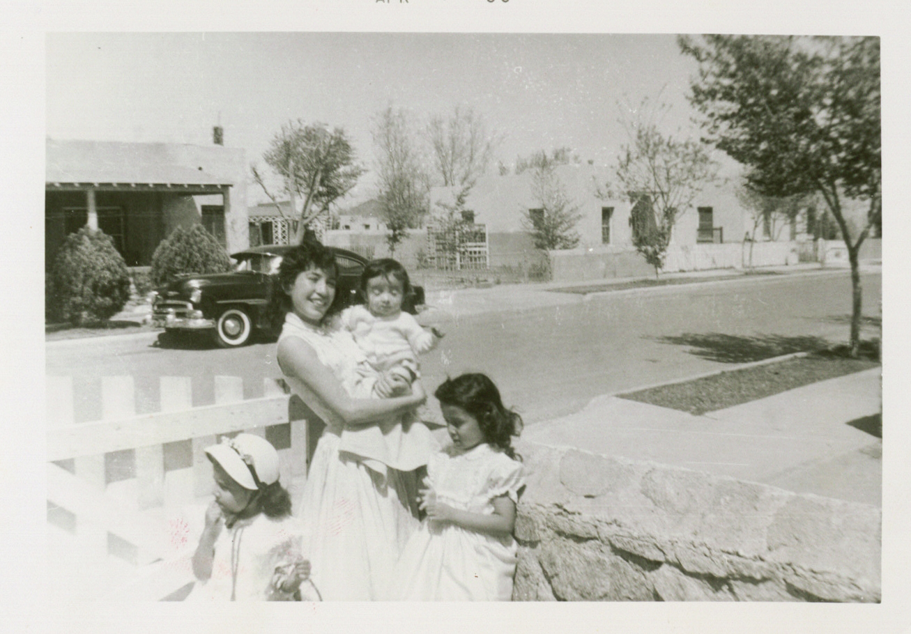
Easter Sunday family photo in the Chamizal. Photo courtesy of Maria Eugenia Trillo.
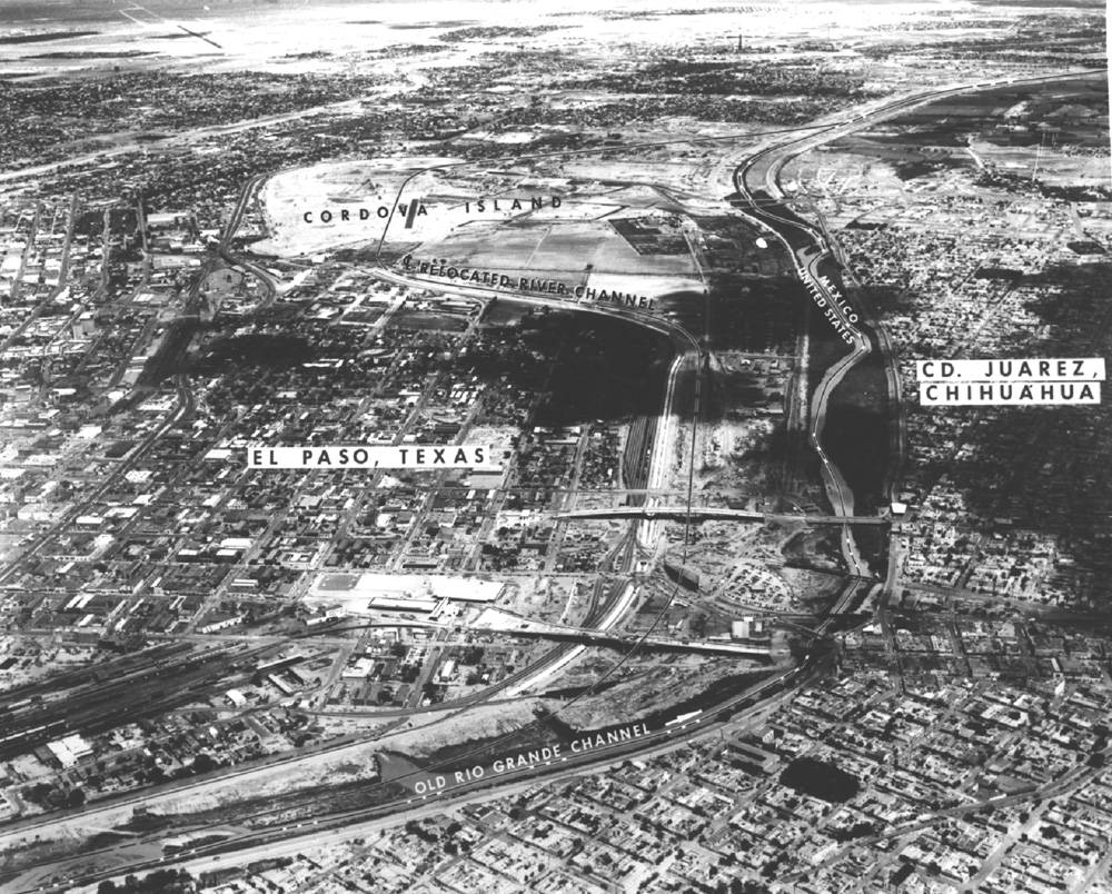
Aerial photograph of the Rio Grande and the Chamizal.
Photo courtesy of the National Park Service.
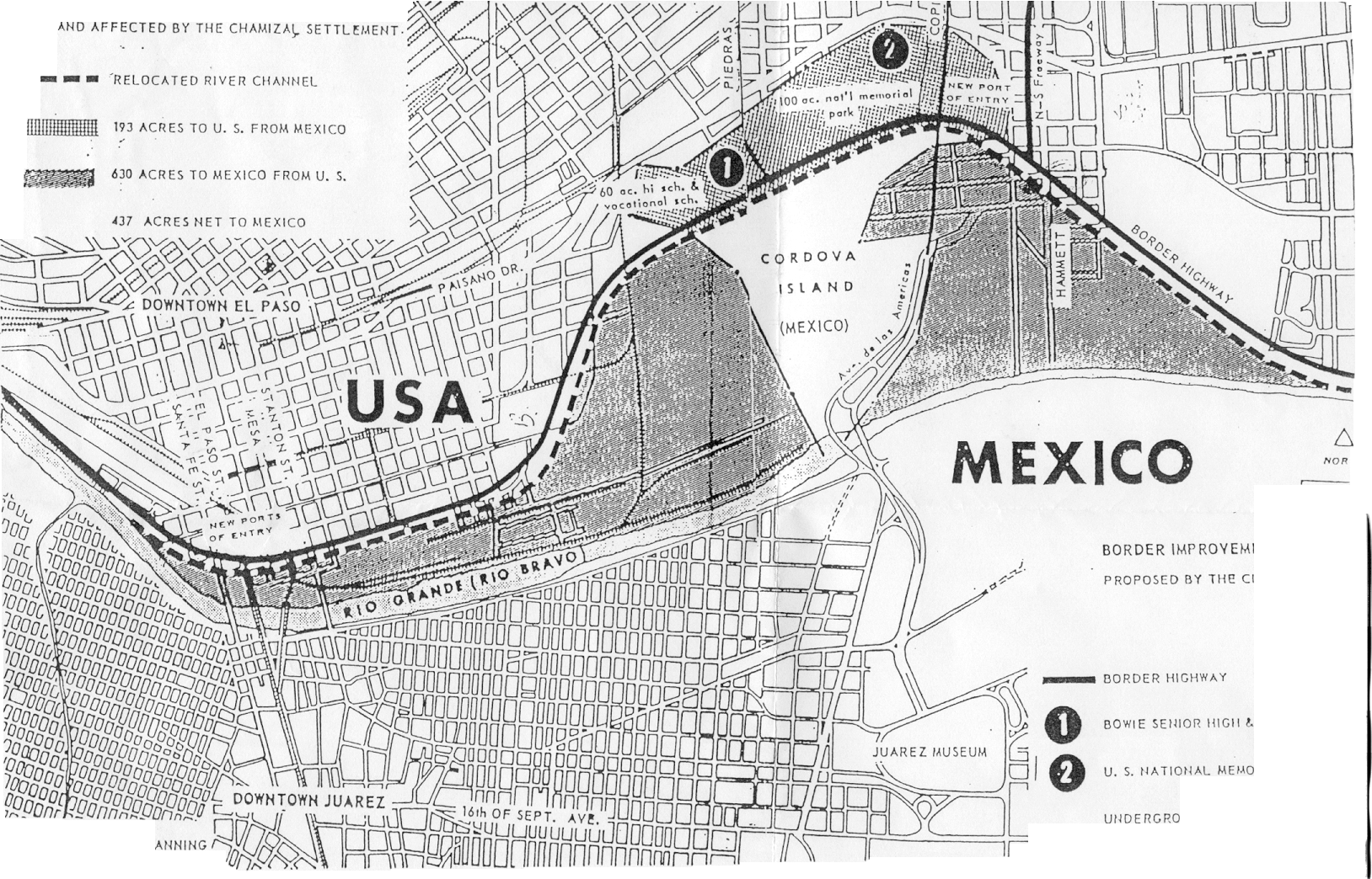
Proposed border changes. Image courtesy of the City of El Paso.
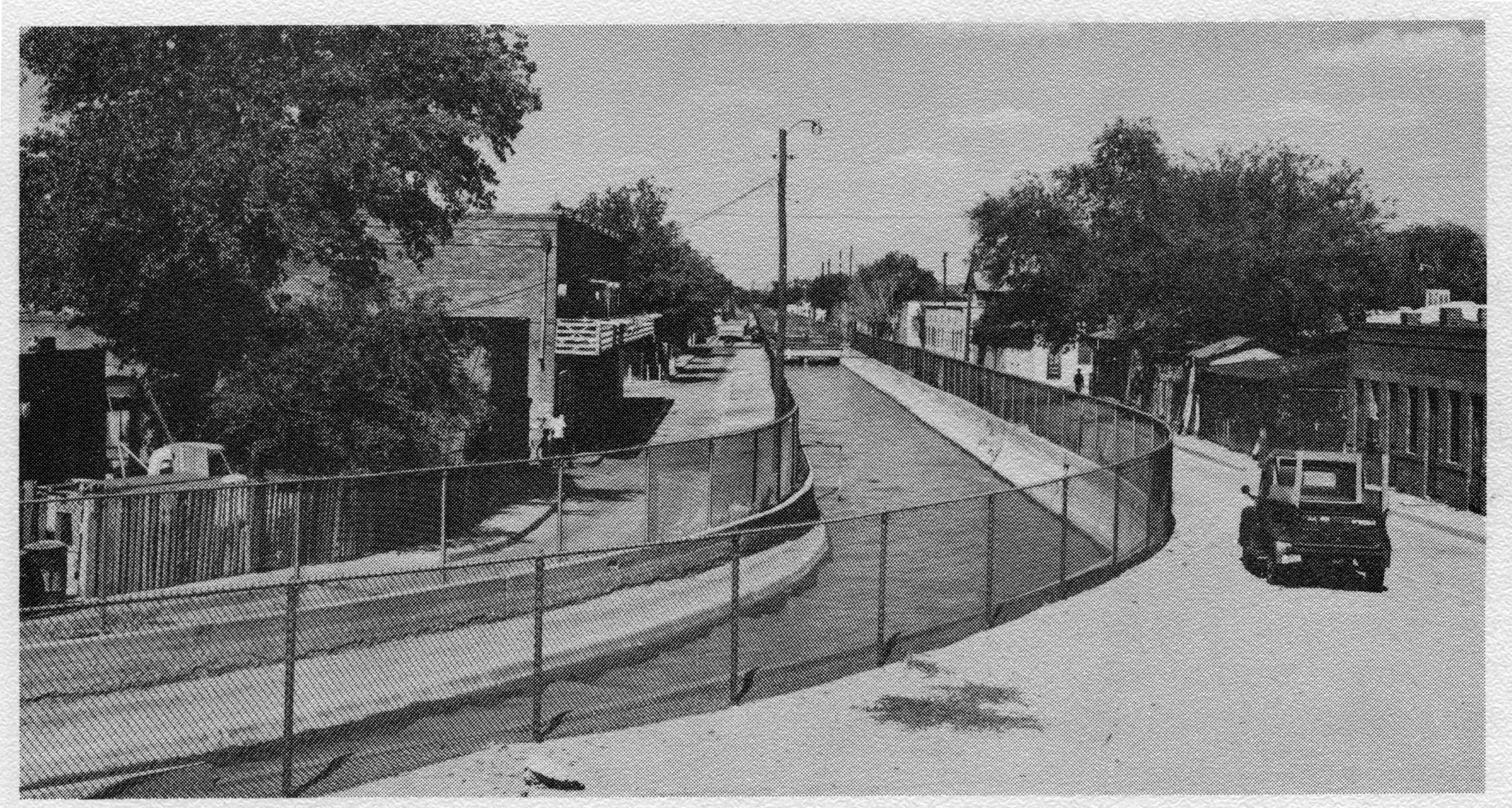
Canal divides Eighth Street. Photo Courtesy of the El Paso Times.
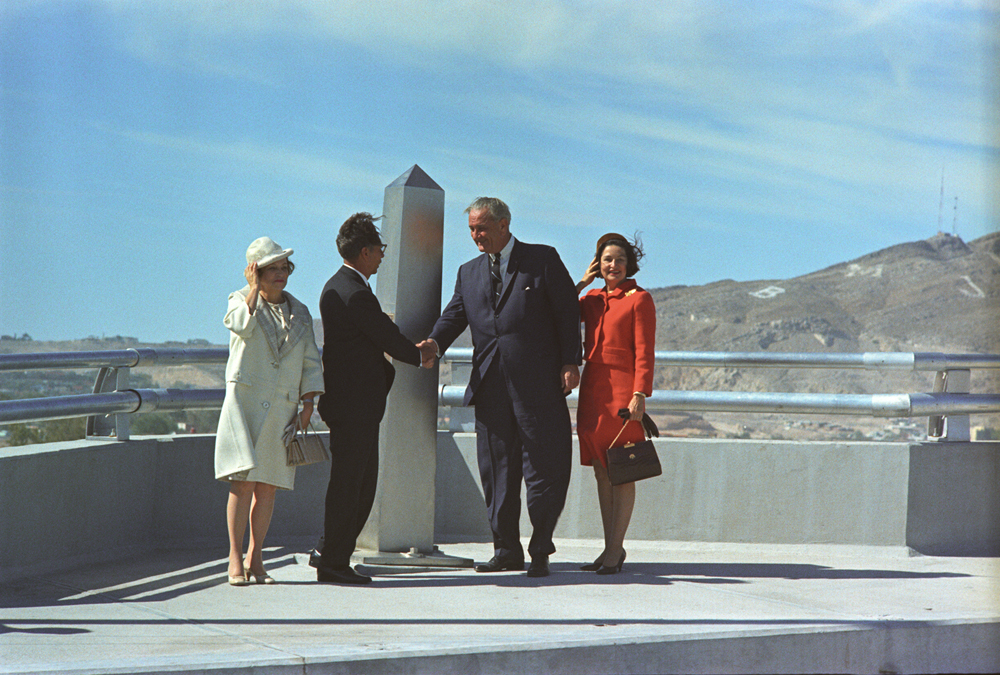
President Johnson shaking hands with Mexican President Gustavo Díaz Ordaz, at the Chamizal Monument in Juarez, Mexico, on October 28, 1967. U.S. First Lady "Lady Bird" Johnson (right) and Mexican First Lady Guadalupe Borja Osorno (left). Photo courtesy of the LBJ Presidential Library.
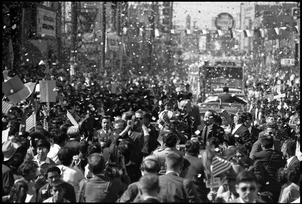
Photo courtesy of the LBJ Presidential Library.
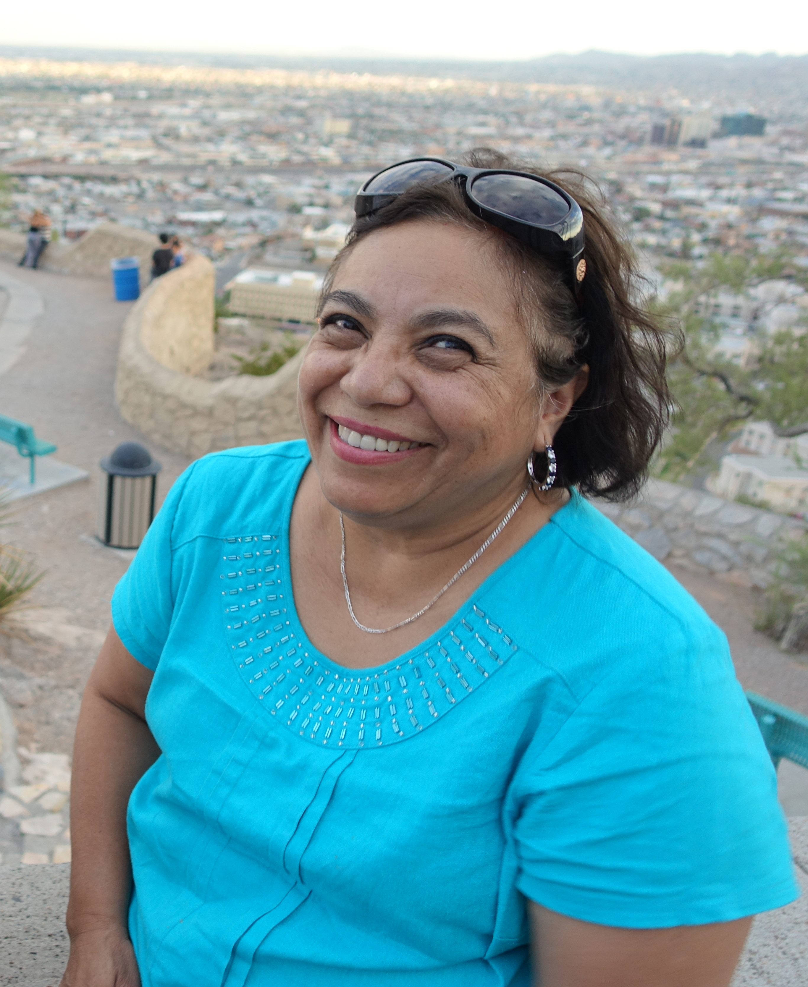
Former resident of the Chamizal, Maria Eugenia Trillo in 2014.
Previous
Next
Historian Paul Kramer, who led us to this story, wrote a lovely essay about The Chamizal in the New Yorker. More of Paul’s work can be found at www.paulkrameronline.com. Special thanks to Paul, The University of Texas at El Paso Institute of Oral History, The LBJ Presidential Archive, the Vanderbilt Archive and Maria Eugenia Trillo.
 The call for a wall along our border with Mexico has a long history. In fact, the first border wall was built 100 years ago… it was a 6 foot tall fence that went straight through the town of Nogales, Arizona.


